HIKING
"Hiking is a bit like life: The journey only requires you to put one foot in front of the other...again and again and again. And if you allow yourself opportunity to be present throughout the entirety of the trek, you will witness beauty every step of the way, not just at the summit." — UNKNOWN
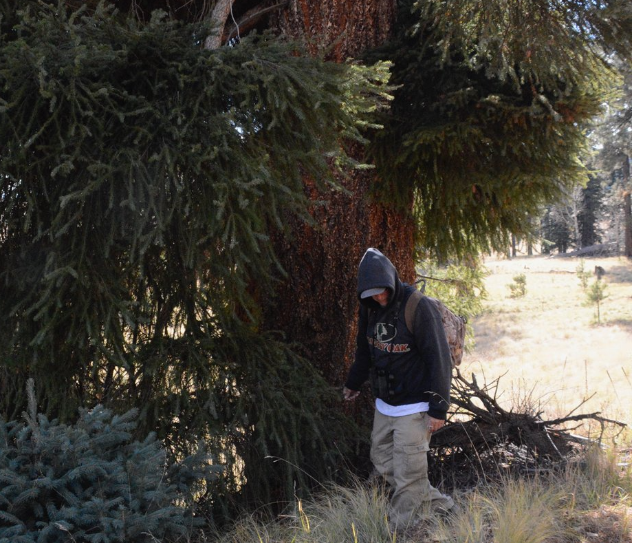
Secrets of a Douglas Fir
By Anne Groebner
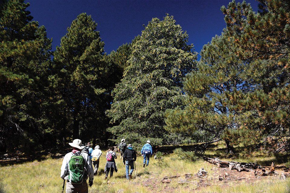
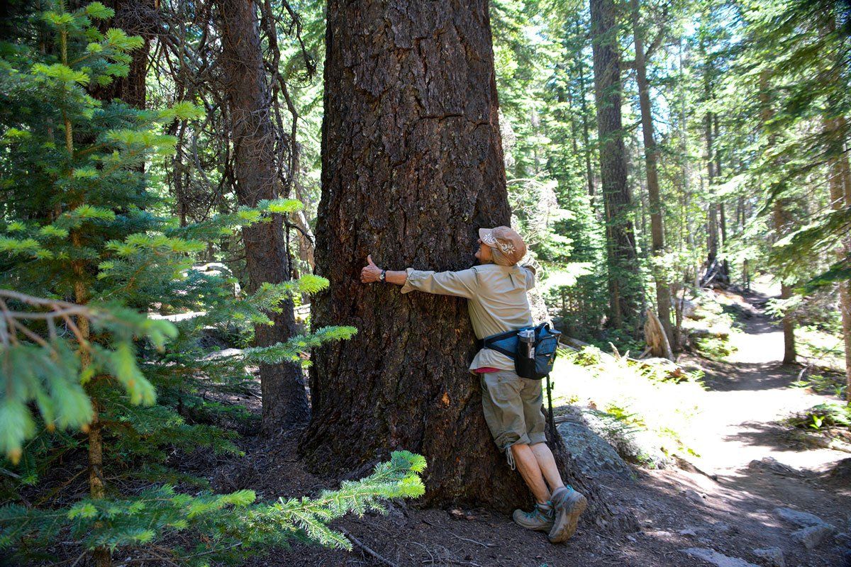
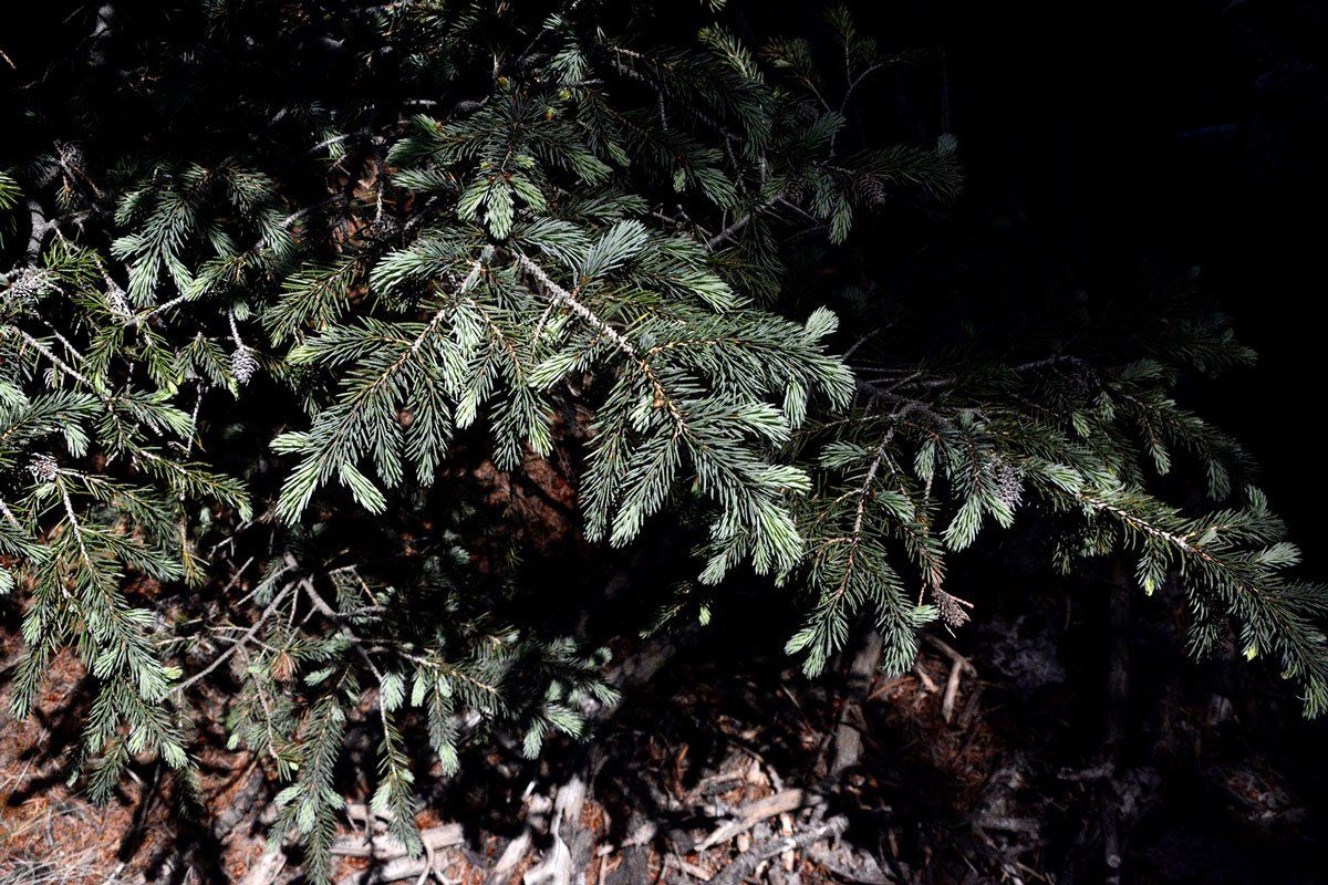
There is an ancient Douglas fir that guards the entrance to the Land of the Giants trail. Its bristled needles are bunched tightly in thick skirts that encircle its ragged, corky bark. It leans slightly and is shaped by gusty winds that hurl across an open meadow. There’s no telling how old it is — but it stands sturdy. This elder fir has defied nature and humans, staying rooted within the cindered, sandy, and basalt-filled earth left behind by volcanic lava flows. It is the greeter to hikers and bikers — I am certain this tree has been around for a very long time.
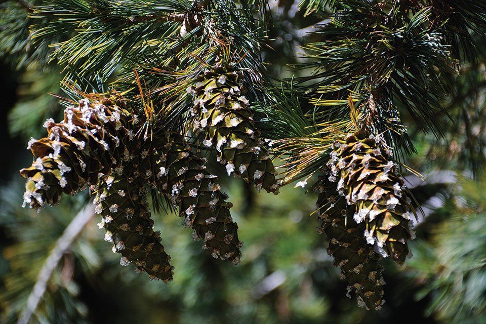
Douglas firs are unique. They are conifers, which means they produce seeds in cones instead of flowers. The cones are oblong, two to four inches long with three-pointed bracts that hang like Read More
Hunting for Harris Cave
By Allanna Lea Jackson
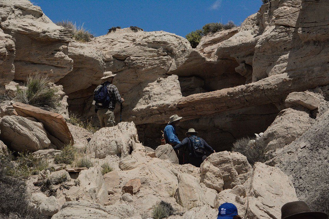
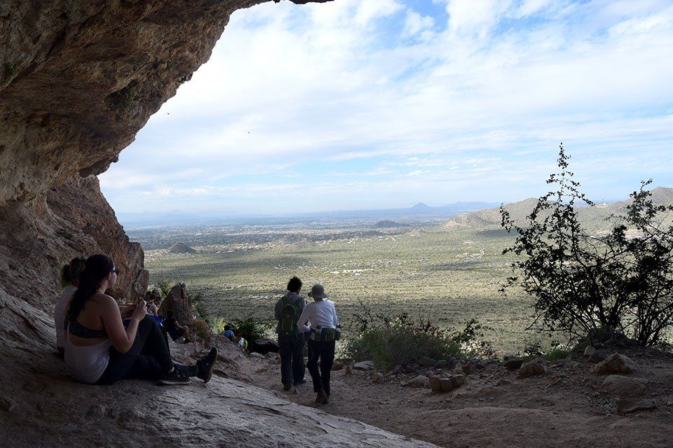
When you’ve lived in an area for more than 40 years it’s easy to think you’ve seen it all, but have you? Last month at work I found file folders that had been stashed in a cupboard and forgotten. I took them to my desk to inspect more closely and found descriptions of ATV trails in the Apache Forest that offered tantalizing clues about places I didn’t know about. My brother, Ian, has explored these mountains more extensively than I have so on my day off I texted him to ask if he’d been to Harris Cave somewhere around Green’s Peak. He’d heard of a cave in that vicinity but didn’t know its name or where it was. We made plans to hunt for Harris Cave the next day.
Freedom of Horton Creek Trail
Sherry E Engler
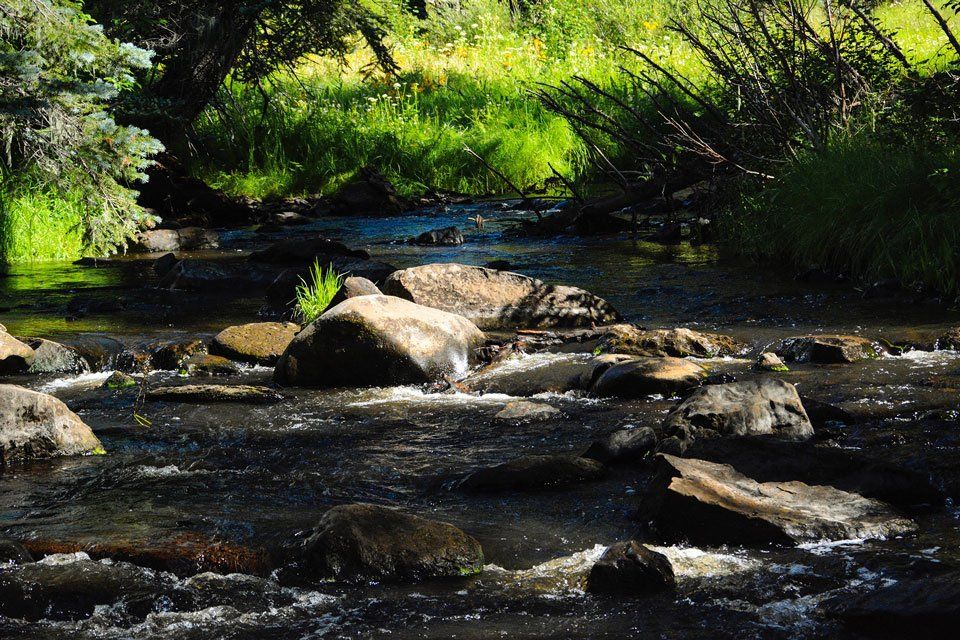
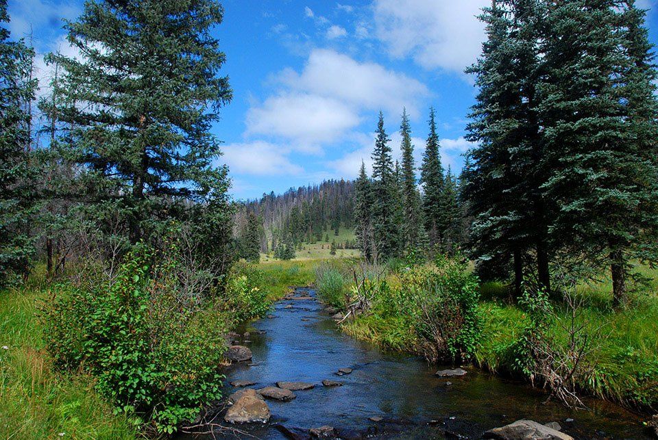
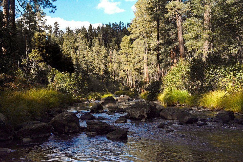
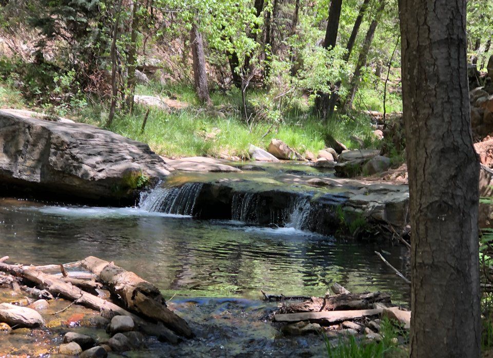
Trickles, splashes, and dribbles of clear mountain water rush over the array of granite
rocks, smoothed from decades on decades of Mother Nature’s continuous flow of Horton Creek.
The forage green, consisting of jade ferns and olive grasses, accentuates the beauty of the
curving stream. Ponderosa pines rise with a pristine presence a short distance from the beauty
of the creek, lending way to being one of the gorgeous trails, unsurpassed in beauty, in the
Tonto National Forest.
That Wild Blue Yonder
By Rob Bettaso
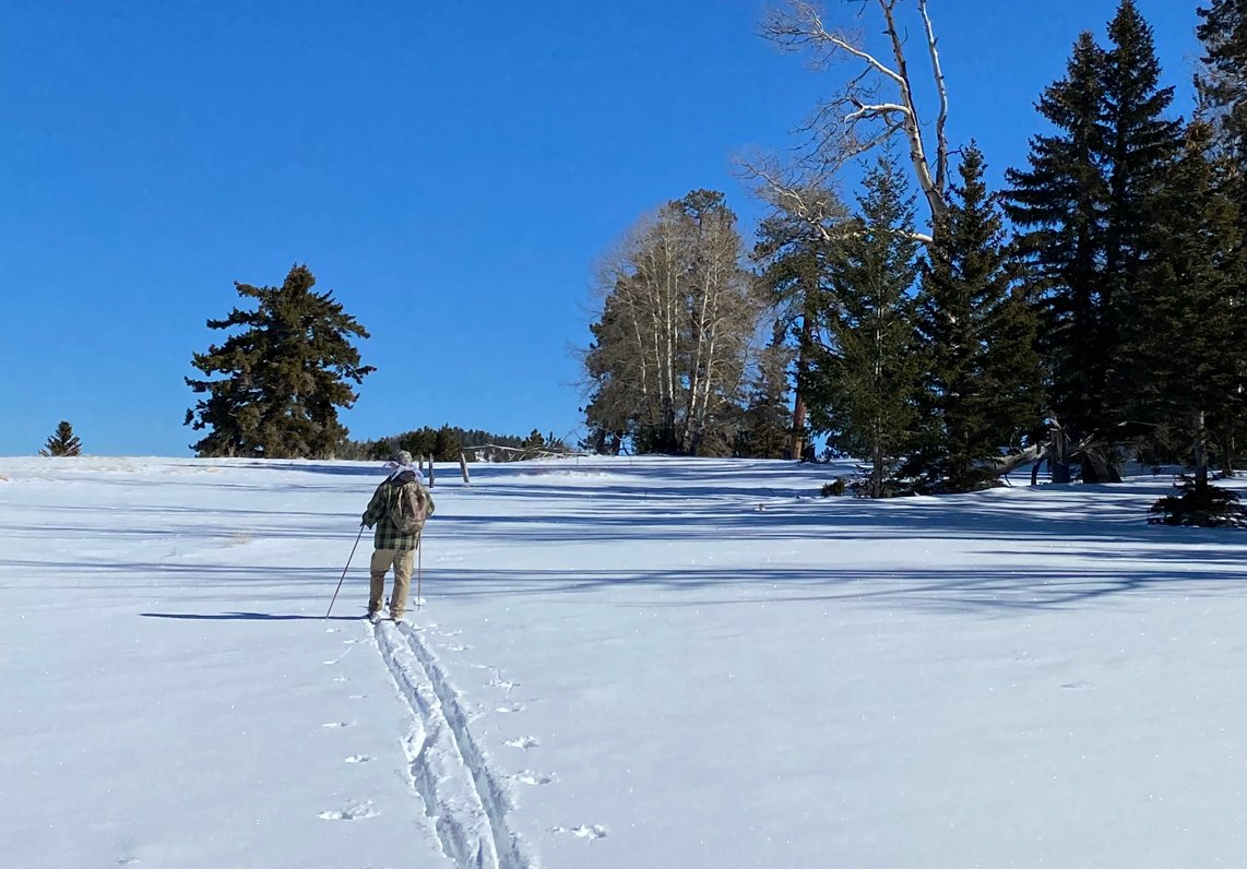
You know the old expression: “Don’t like mountain weather; wait an hour and it’ll change.” Missing from that adage is the fact that our weather varies not only temporally, but spatially as well. In other words, simply by going up or down in elevation a thousand feet, one can vary their environment significantly.
As a recent example of altering my “climate zone” let me evoke a pattern from this past January. On New Year’s Day, we finally got Read More
Pika Country
The Wind River Range
By Rob Bettaso
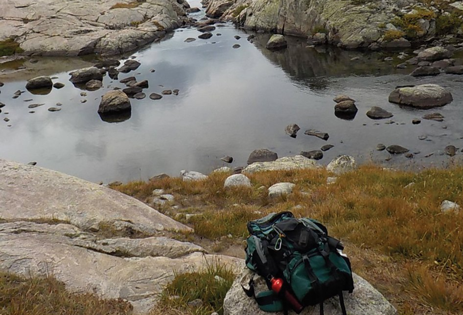
The hill is steep and my backpack is heavy. A Clark’s nutcracker taunts me as I climb, sweat, and mutter under my breath. When I reach a point where this particular ascent is done and the trail levels out, I look for a shady grove off the path, a place where I can unstrap from my heavy load. I have a long drink of water, and rest for what I promise myself will be no less than 15 minutes...
Read More
A Little Bit of Heaven
Government Springs Trail
By Anne Groebner
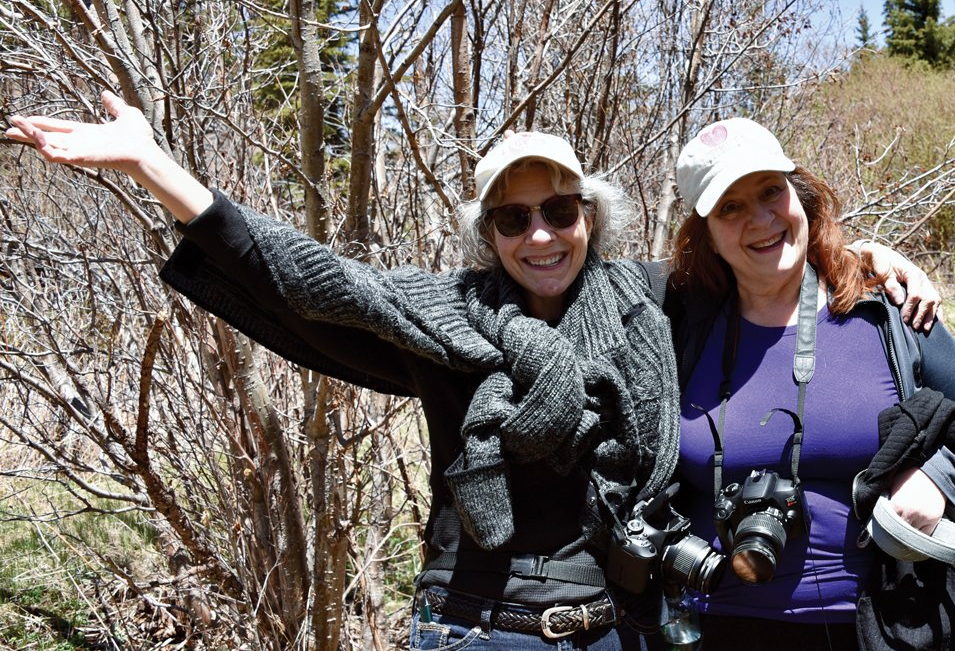
The drive on Arizona Route 260 to Greer is beautiful in a peaceful sort of way. I’ve driven it thousands of times and I never grow tired of it — the patches of towering ponderosa pine separated by open meadows, carpeted with wildflowers backing up to mountain ranges. Much of the drive is through the pristine Fort Apache Indian Reservation until you pass Sunrise Ski Hill and it turns into the Apache-...
Old Trails and
Ghostly Towns
By Anne Groebner
The Catwalks Trail
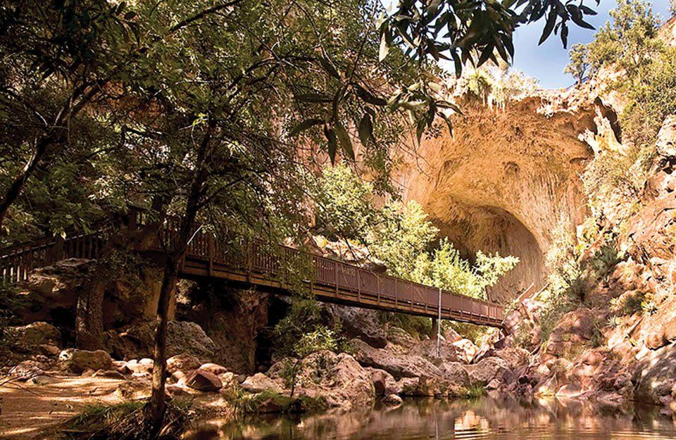
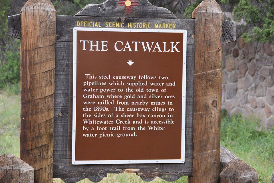
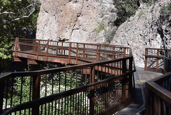
Many years ago, before the Whitewater-Baldy Complex Fire in 2012 and post-fire floods, I ventured into the enchanted world of New Mexico to hike the Catwalk Trail, ...READ MORE

Blessings from Nature
By: Sherry E Engler
“Meganormous!!!”
“Unbelievable! The size of these!” Don exclaimed as we examined the large manzanitas. Used to seeing small- to medium-size manzanita bushes in the Southwest terrain, we were enchanted by
... READ MORE
Winter, Friends
and a Mountains
Photos and text by Anne Groebner
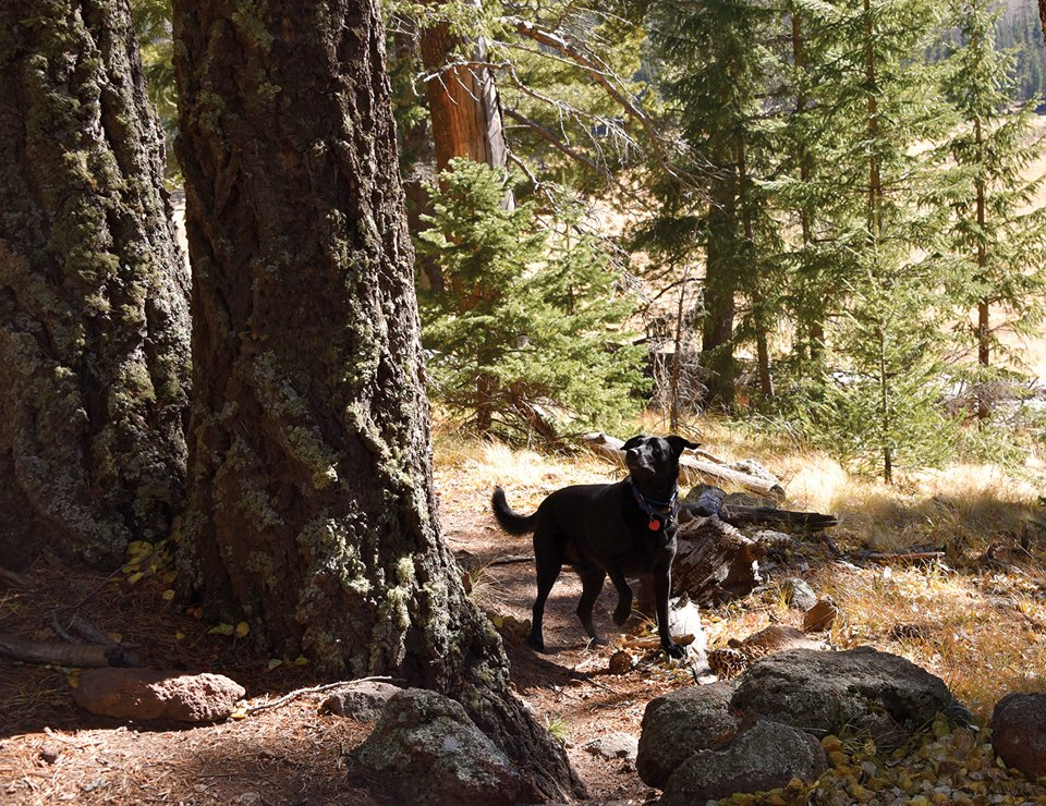
A few days ago, I hiked Baldy with some friends and we were the only hikers on the trail. That is a first for me. Other than some casual conversation, the only sounds we heard were the birds (nutcrackers that were pointed out by my friend and birding
...READ MORE
Monsoon Season:
Is it Over?
BY DAN GROEBNER
With the frequent and generous rain clouds that have enveloped us this summer, can we officially say that we are out of the drought? How many scenes of flash flooding are needed to end the latest dry period? How much rain did we get, anyway?
Unfortunately, as we’ve all heard before, it’s going to take more than one wet summer to get back to more normal precipitation levels. But we have enjoyed
White Mountain
Monsoon Hiking
BY DAN GROEBNER
Finally-- it’s raining! As much as we enjoy this area with few mosquitoes and ticks (relatively speaking), low humidity and moderate temperatures, it can get old when every summer we are wondering if a fire is going to break out close to town and force evacuation of a White Mountain community. You can’t beat the fantastic vistas and miles of a well maintained and mapped trail system. Add to that the wide diversity of wildlife and unique high elevation flowers and you have hours of
BE PREPARED...BE SAFE AND PACK OUT WHAT
YOU PACK IN!
Here is a checklist of items and communication suggestions for hikers that head out on the trail — especially on a long day hike or overnight excursion. Checking the weather report during the monsoon season (between June and September) is critical!
PLEASE PACK OUT ALL TRASH AND FOOD AND BE FIRE-WISE!
In Honor of Liz Wise
Anne Groebner
Saturday, June 5, a group of Liz Wise’s friends — including many TRACKS members — and some Arizona Game and Fish Department (AZGFD) employees gathered together to dedicate a sign that sits prominently — front and center — at the entrance to the Arizona Game and Fish Department’s wetland’s project and adjacent to the Old Hatchery Trailhead — which was inspired by Liz, herself. “This was a really big project that involved a lot of people.” Dan Groebner, AZGFD biologist and project coordinator for the signage and dedication, told the crowd. “A project that had to be put off for a long time.”
Trail Etiquette
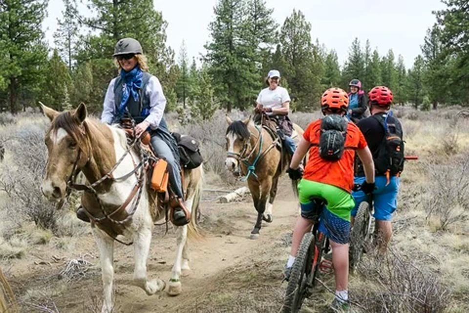
The best thing you can do when hiking is to remember the “golden rule”: treat others the way you would want to be treated.
Here are some main points of hiking etiquette.
- Know your right of way. Check signage for the trail you are hiking(if applicable), and follow the correct right of way yields. Signs may vary, but these are the general guidelines of yielding on the trail
- Hikers coming uphill have the right of way. If you’re descending the trail, step aside and give space to the people climbing up.
Hiking the Highline Trail
By Sherry E Engler
Perchance, life is unpredictable always — but especially in the year of 2020! Just twelve months ago, I shared future events to mark on your calendars: The Pine Trail Run, the Mogollon Monster Mudda, the Payson Book Festival, the Northern Gila County Fair and others. Sadly, one by one, these events were cancelled in the wake of the pandemic of Covid-19.
Mysteries of Black Mountain
By Sherry E Engler
A hike into the unknown, the mysterious and the unexplained describe my thoughts as we reached the top of the summit of 3,971 feet in Gila County, Arizona known by few as Black Mountain. Unlike more popular summits named Black Mountain, such as the mesa of Black Mountain in
All Who Wander
Are Not Lost
By Anne Groebner
I hiked part of the Blue Ridge Trail #107 the other day, a long effortless walk through a large stand of ponderosa pine. This year the Forest Service is doing selective cuts along this trail to help with our fire season. Piles of sawdust and stacks of thin logs on the edge of the forest and sequestered tall pine
Straight to the Point
BY CARENA DEL UNO
A Personal Note:
It may take me only an hour to get to The Point and return but it’s unlike any other walk in the area and the view at the top is magnificent. Furthermore, very few people know about it. In fact, in the 25 years I’ve lived in Pine, I haven’t seen anybody whom I didn’t previously take to The Point, coming
Pueblos to Pioneers
SIPE WHITE MOUNTAIN WILDLIFE AREA
BY ANNE GROEBNER
At the edge of the White Mountains -- in eastern Arizona -- lies Sipe White Mountain Wildlife Area. Located just outside of Springerville and Eagar and surrounded by the Apache-Sitgreaves National Forest, Sipe Wildlife Area covers 1,362 acres. Sipe is made up of high mountain meadows
Giants Among Us
BY ANNE GROEBNER
When the Spanish and Hispanic explorers reached the southern section of Apache County, it is said that they “christened the expanse of snow-covered mountains before them ‘Sierra Blanca’ — White Mountains.” In his book, “A Sand County Almanac,” Aldo Leopold, one of Apache-Sitgreaves National Forest’s first forest
THE AMAZING WORLD OF WILDERNESS
No Bare Feet on Bearfoot
Climbing Ecks Mountain
Holiday Climb to the Railroad Tunnel
Secrets of a Douglas Fir
Hiking the Greens Peak Area
BY ANNE GROEBNER
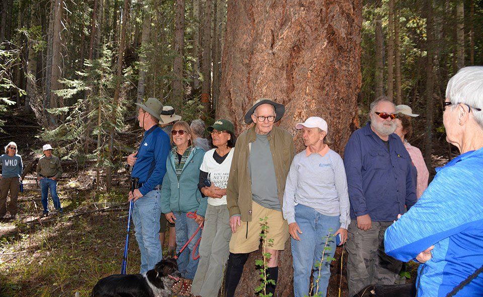
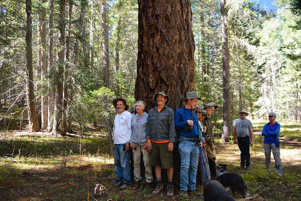
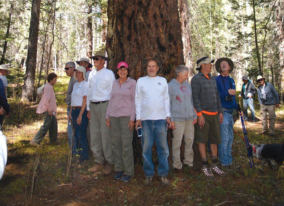
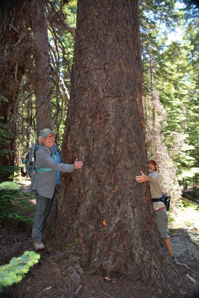
Deep in a small patch of forest, hidden among white pine, Ponderosa, spruce and aspen, in a clearing of a respectful circumference of several feet, is an ancient Douglas Fir — and it’s not your every-day, ordinary fir — it is a patriarchal fir. If you were to hike past it you might not know that it took 16 people standing shoulder to
Four Peaks:
The Mother Lode
BY ANDREW LARSON
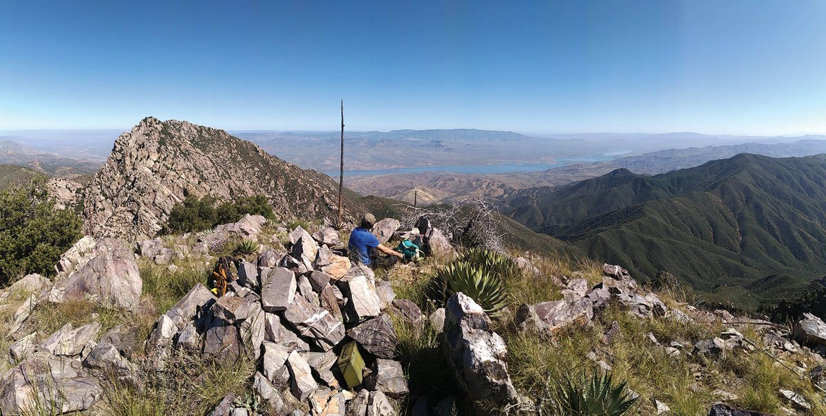
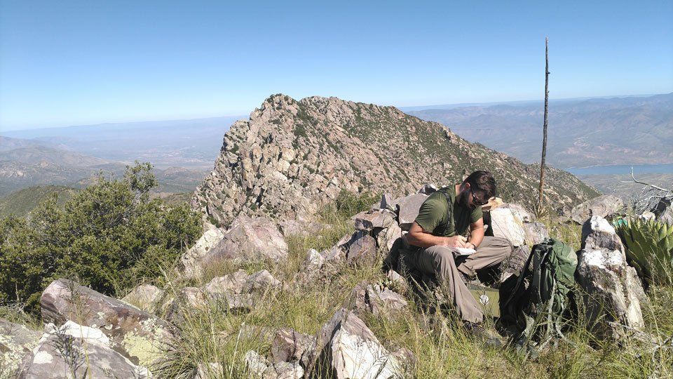
As the mid-day sun roasted our tired bodies, we struggled to find a flat enough perc h for a moment of rest. High upon the exposed steep rock slab on the backside of the third summit, we continued our upwards crawl to the top. Both hands required. Moving upward through a sustained “no-stumble-zone,” we moved
Hiking the Southfork Trail
TRAIL #97
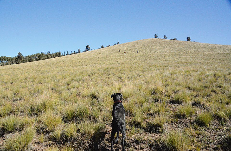
Years ago, I rescued a young lab mix puppy from the Show Low Animal Shelter and the first trail I took her on was the South Fork Trail. That was before the Wallow Fire (in the year 2011) pillaged most of its greenery and turned its once majestic pines into toothpicks. My pup, Xena, one of my all-time favorite trail dogs, had long been gone and the South Fork Trail, one of my favorite
Hiking the
Thompson Trail
TRAIL #629
BY ANNE GROEBNER
There’s something special about hiking along the banks of a river. The sounds of its water flowing and rushing across boulders qualifies as stress therapy. The Thompson Trail, located off Forest Road 116 behind Big Lake and close to the Thompson Ranch, follows the West Fork of the Black River and is one of my favorite hikes. I have hiked
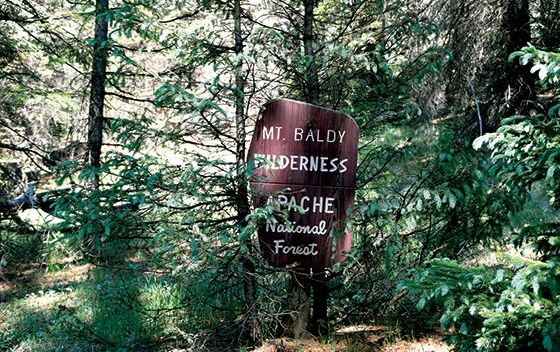
Mount Baldy Wilderness
EAST FORK TRAIL
FROM GABALDON CAMPGROUND
BY ANNE GROEBNER
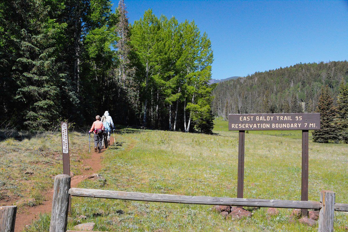
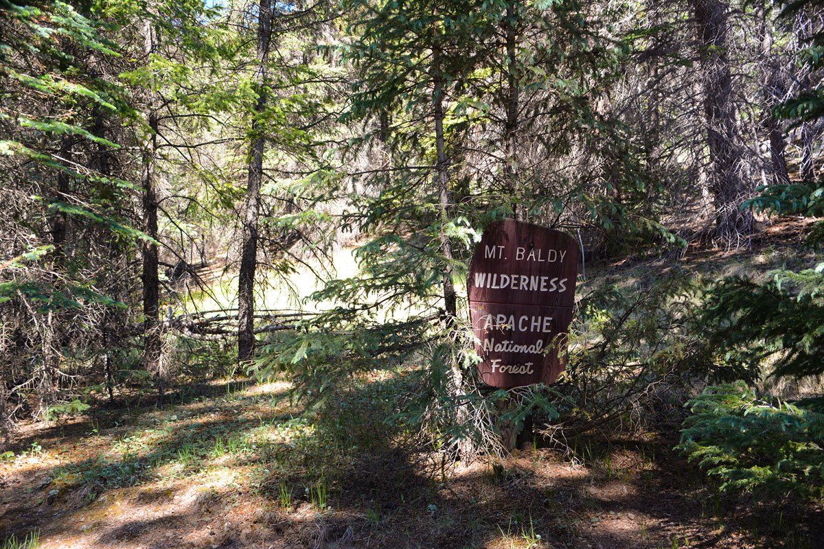
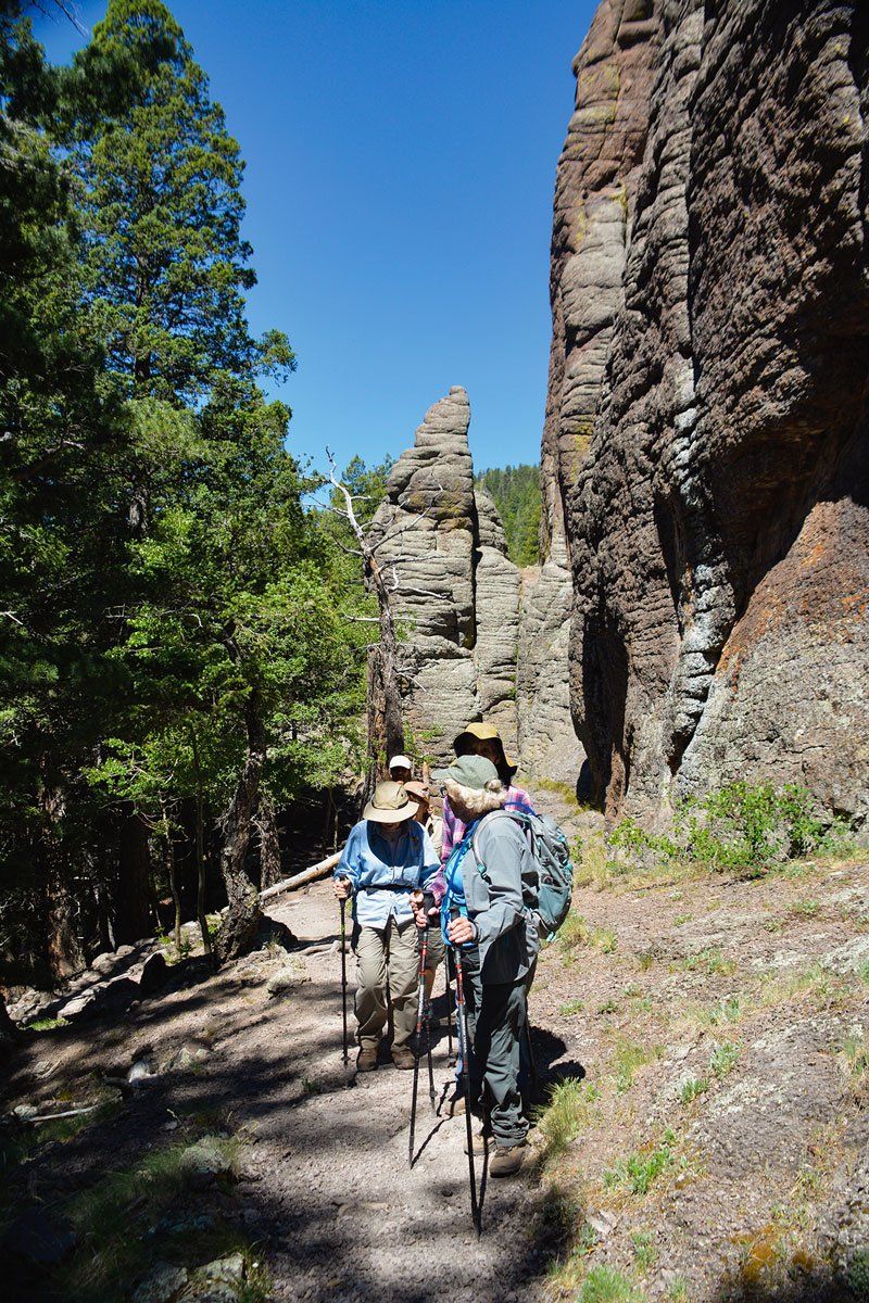
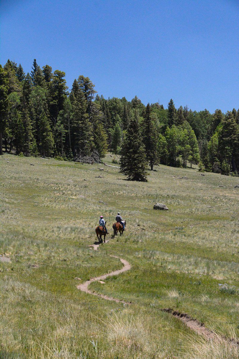
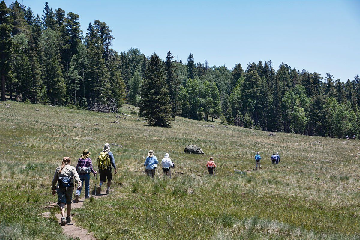
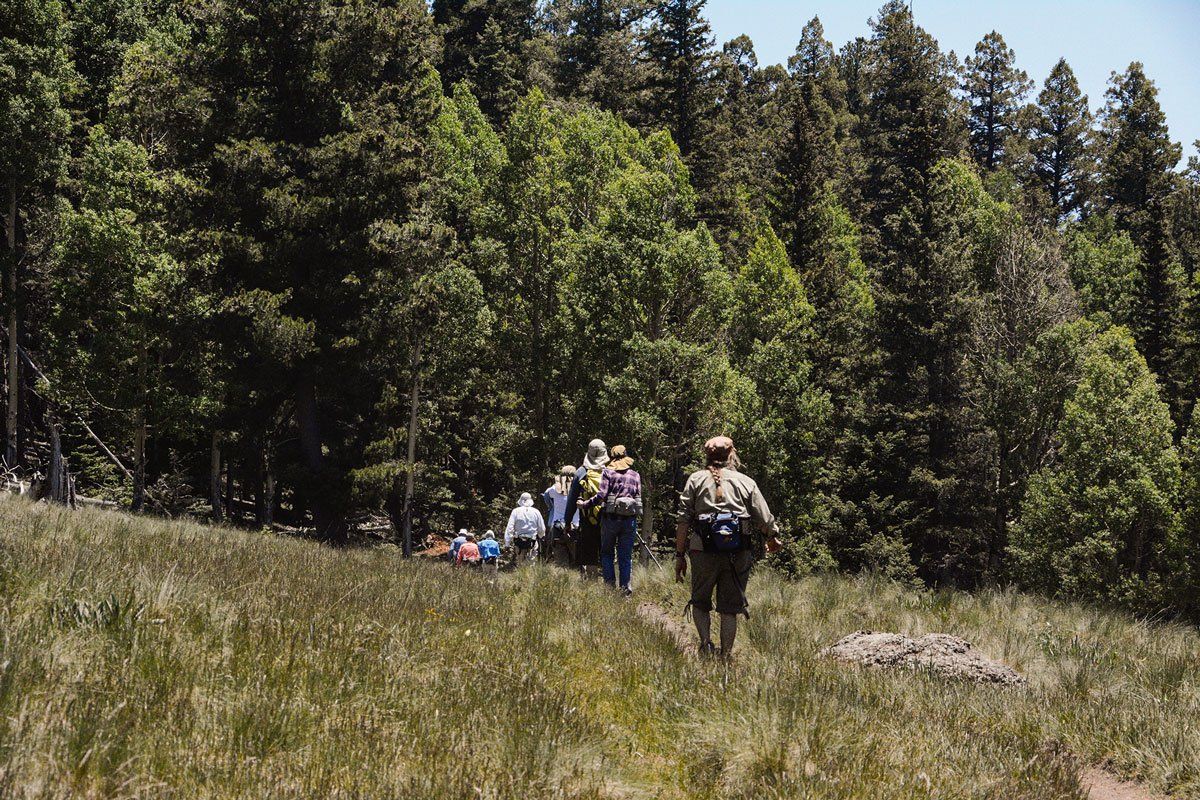
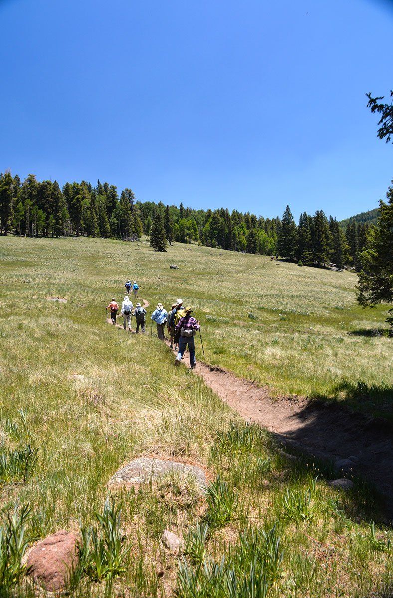
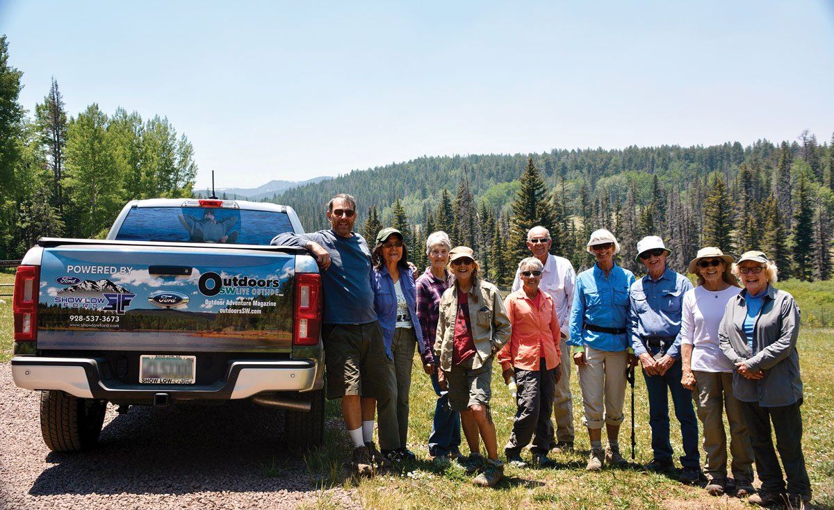
I drove to the Gabaldon Campground, just south of the East Fork Trail of the Mount BaldyWilderness #95, to meet up with a Monday hiking group comprised of 11 hikers led by TRACKS member and trail guide George Tichenor. There is a connector trail from the campground and it is very convenient for horseback riders —
The Trail to Cibecue Falls
BY ANNE GROEBNER
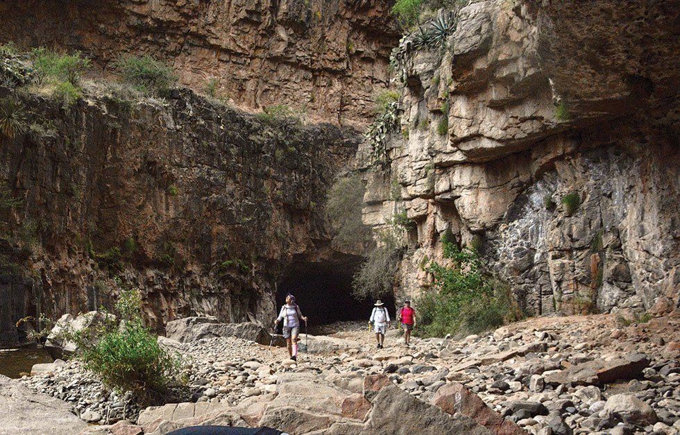
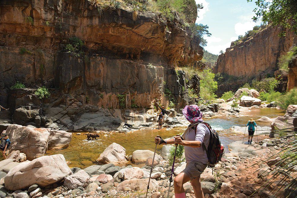
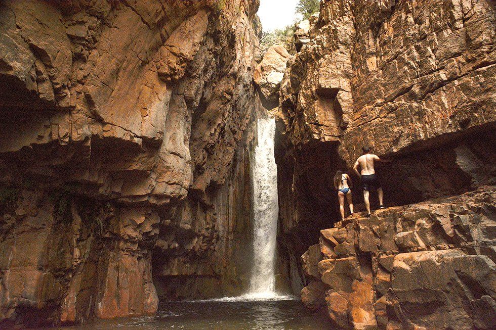
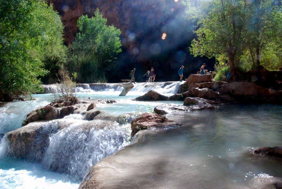
Hiking the trail to Cibecue Falls is no “walk in the park.” Not only do you need strong legs and good water shoes -- with tread -- but you need good arm strength to maneuver yourself up and over boulders and good balance to cross over slick stones through a river determined to push you sideways into its watery clutches. And that’s if you survive the narrow and rocky
Guide to White Mountains Autumn
PHOTOS & TEXT BY ANNE GROEBNER
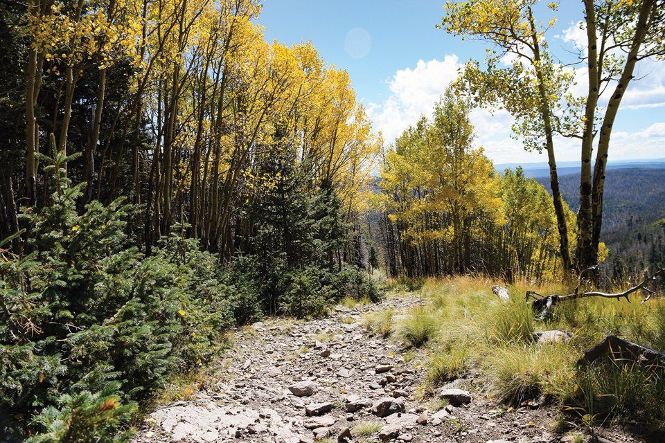
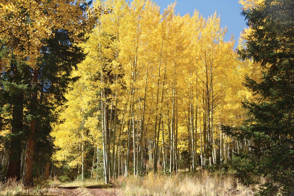
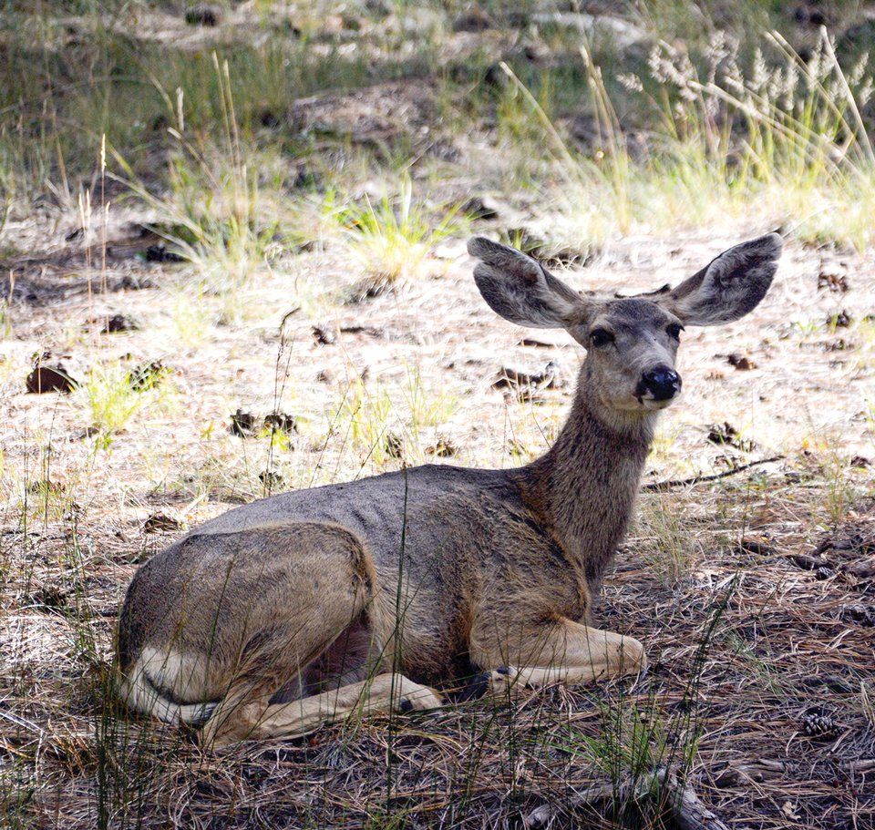
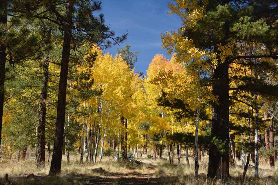
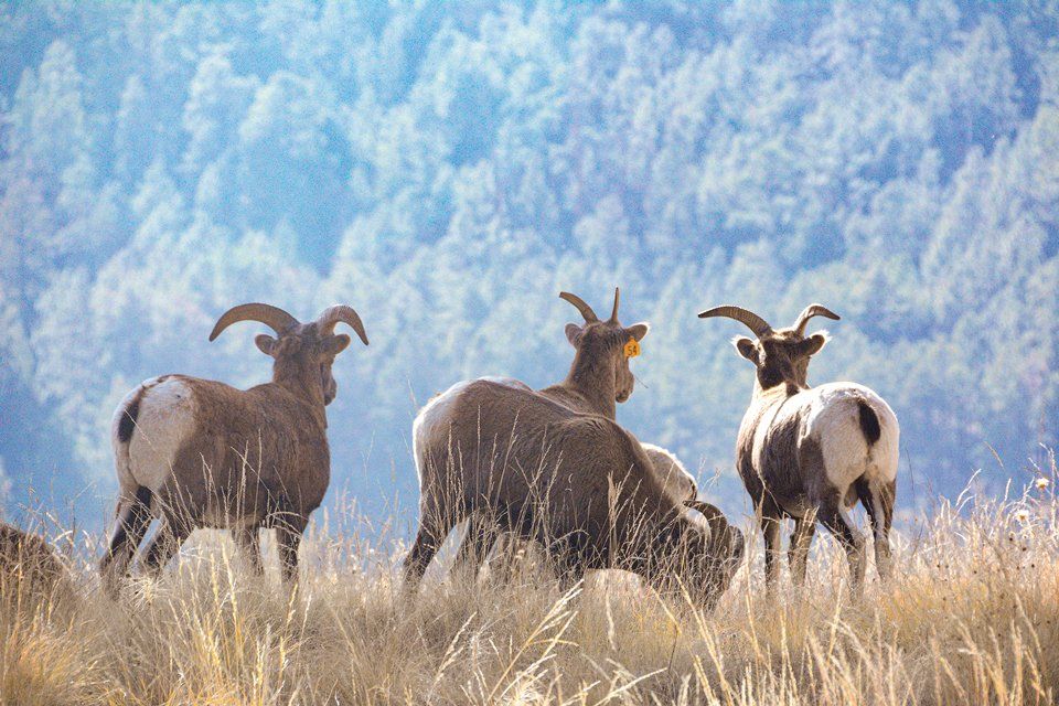
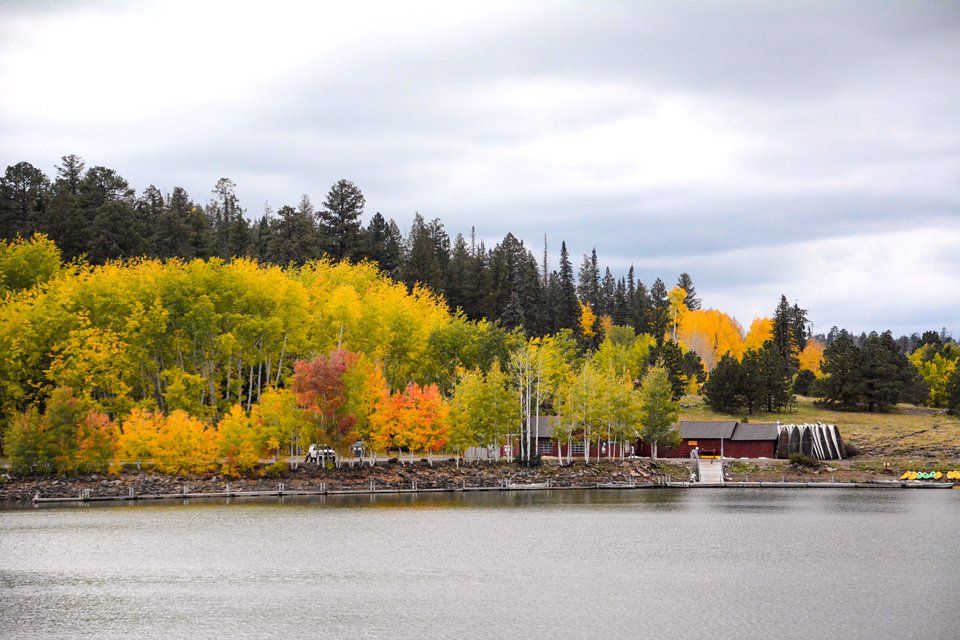
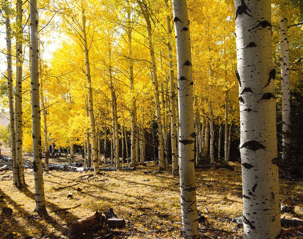
Thinking about traveling to the mountains this fall when the trees deck themselves in spectacular color? That may not be all you see. The elk are in rut and fall is the best time to see or hear them. There are also deer, big horn sheep and the weather is perfect for spending time outdoors. Don’t forget warm clothes, hiking shoes, binoculars and -- most important -- your camera! Here are a few places to check out:
White Bark, Gold Leaf
BY ROB BETTASO
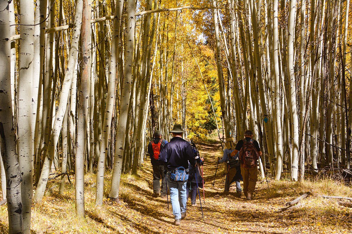
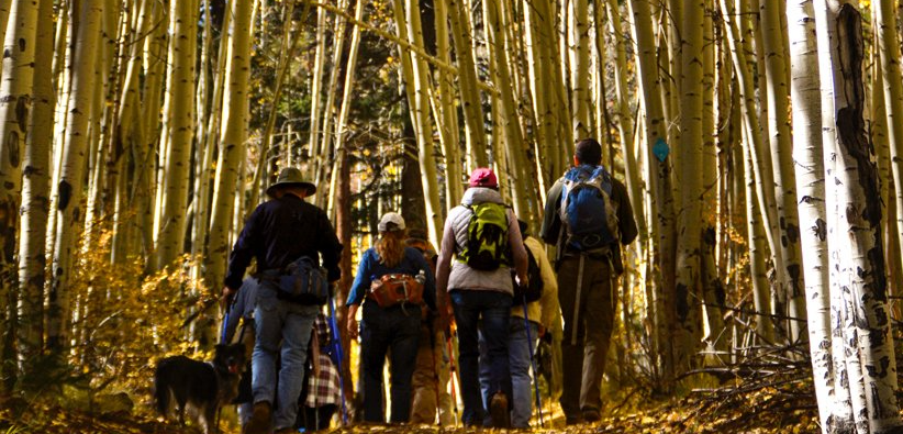
In mid-October, when the local aspen trees were at their autumnal peak, I got together with a few friends from the Search and Rescue (SAR) crew to enjoy a non-searching, purely recreational type of hike in the Wishbone Mountain area. To say that we were not “searching” should not suggest that we were not “seeking”-- for indeed we were. And what was it we sought? Well perhaps I should
TRAIL ETIQUETTE
Wayfaring Hikers With Benefits
BY ANNE GROEBNER
Well, the secret is out.
The threat of house arrest has created panic among the dwellers of the major cities in our nation and the focus is on getting outdoors — and what’s better than fresh air and strolling through a canopy of towering ponderosa, aspen and a variety of southwestern trees, wildflowers and grassy meadows. Most people in the United States live in overstimulating, stressful urban or suburban environments. So, it makes sense — considering our evolutionary history of living in nature — that
Origins of the
White Mountains Trail System
BY ALLANNA LEA JACKSON
When my family and I moved back to the White Mountains in 1978, the Blue Ridge Trail was the one designated hiking trail in the Lakeside Ranger District of the Sitgreaves National Forest. A trail also existed near the Los Burros Campground. There were hundreds of miles of old logging roads, one-lane wood cutting tracks, ranch roads and trails that people used for work and recreation. These trails had no official status and a few of them crossed undeveloped private land. Unmarked routes that were on

