Mog-nificent and Mog-ical Land of Adventure
Article and Photos
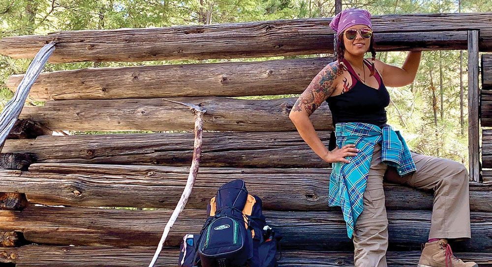
by Jil Albrecht
The first time I ended up on the Mogollon Rim (pronounced moggy-yawn) was a happy accident. It was my first multi day backpacking trip, and I was taking it on solo. After a few short stints in the Sam Houston National Forest back home in Texas, I finally had enough gear and knowledge to push myself further outside my comfort zone.
Growing up in the suburbs of Houston, TX, exposure to camping or the great outdoors was rare. Much of my knowledge and experience was earned through haphazard planning, misguided mistakes, and hard learned lessons doled out by none herself but Mother Nature.
After finishing a tough Spring semester at the University of Arizona filled with organic chemistry and physics, I desperately needed to go play outside. I meticulously planned a route in the White Mountains of Eastern Arizona, only to be forced to pivot due to thunderstorms in the area. Packed and ready to go, I scoured my maps to find an alternative. There were only three criteria: it had to be above freezing at night, cool enough to escape the desert heat, and have reliable water sources. The Mogollon Rim fit all of these criteria effortlessly, while only being a three and a half-hour drive from my home in Tucson, AZ.
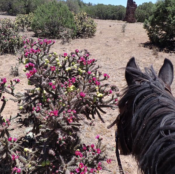
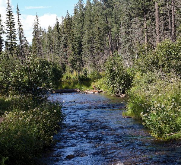
The Mogollon Rim is a geographical feature forming the southern portion of the Colorado Plateau that spans the length of approximately 200 miles through Yavapai County from to Eastern Arizona. The drastic and rugged escarpment provides a dramatic and stunning spectacle to behold. Like a table draped in green velvet, the top of the rim is lush, forested, and smells of ponderosa pine. As the cliff faces descend, red rock and clay peeks through, speckled with manzanita and gnarled and knotted juniper trees. Veins of crystal clear creeks run deep, carving with time into its deep and mysterious canyons. The magic of the Mog is that there seems to be infinitely many ways to enjoy this magnificent place.
My first backpacking trip traversed the 26 mile Cabin Loop Trail, nestled in the forest on top of the rim. The inviting and flowing meadows, babbling brooks, and historic cabins made for a peaceful two nights away from the desert sun. There were plenty of trees to string up my hammock and enjoy a book at the end of each day.
That trip had me yearning to come back for more. The following March, l opted for a lower elevation option where there would be warmer temperatures and no snow. This landed me on The Highline Trail, which is a 56 mile point to point trail that traverses the lower elevation ridge of the rim.
Despite facing blizzard conditions that first day, as a working student I was determined to follow through with the adventure given my long weekend. Into the white, the first day was a 25-mile trek, crunching fresh footprints into the snow. As it does in Arizona, it heated up significantly the following day, melting the snow rapidly. Snowmelt mixed with the rim’s rich red clay made for an excellent day of meandering through the muck and the earths most gloriously dirty slip ‘n slide for another 21 miles. By day three, it was a relief to reach the Pine Trailhead. Memories of the roaring creeks and gentle peace of quiet snowfall never left me. Neither did the bits of earth from my shoes and socks from that trip.
In the years following that trip, I took to the sport of running ultra-marathons (defined by distances of longer than 26.1-miles and usually taking place on trails). For my 30th birthday, I set out to run for 30 hours. Almost exactly three years prior to the first trip I took to the rim, I knew there was no place in the world I would rather spend this special day.
My route began at Pine Trailhead and climbed up and down the rim multiple times. The first ascent took me up the Arizona Trail from Washington Park to repeat the Cabin Loop Trail, where it had all began. The route then followed Rim Road, where I was treated to epic and expansive views of the Tonto National Forest and a sherbet sky sunset. In the dark, I followed Rim Road to the Tonto Fish Hatchery, which then descended back to the Highline Trail. Finally, after passing through Horton Creek and See Canyon, the route concluded at 260 Trailhead.
This epic and scenic route was 72.5 miles with a cumulative 11,722 feet of elevation gain. It took 27.5 hours to complete, and ended with a waffle party hosted by my friends in the parking lot. They took shifts keeping me company all day and all night on that crazy run, helping me with food and logistics, and most importantly, morale. This was far and away the best day of my life, and my favorite memory on the Rim.
These trails are kept and maintained by people who love, care, and use them too. Due to the influx in watershed every season, the rim is an ever shifting and changing geological feature. The work put into keeping these trails functional is back breaking and intensely laborious. So please, do tread lightly and treat this special place and its people with the love and respect it deserves.
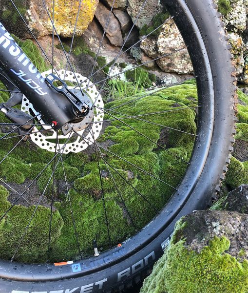
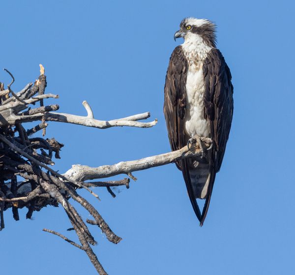
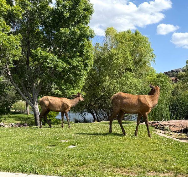
Dogs may also come to enjoy the rim, as well as bicyclists, day hikers, car campers, naturalists, bird watchers, young people, old people. Everyone who comes to the rim, loves the rim. The world hosts many beautiful and unique places — and this one will always hold a very special place in my heart.