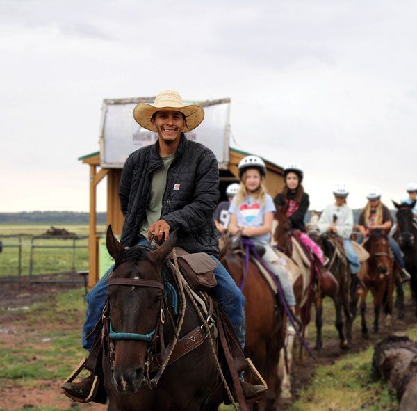
Get ready for some travel changes in the forest...
By Dan Groebner
If you haven’t heard anything about the Forest Service’s Travel Management Rule, maybe your spaceship just landed and you’re still getting acclimated to our atmosphere. Seriously though, many folks don’t follow federal bureaucratic rule making processes, but this one could have an impact on hikers, campers, hunters and anglers, especially if you drive some sketchy two-track roads to get to those secret spots.
So, what is the Travel Management Rule of 2005 that all National Forests have to implement and enforce? In the simplest terms, the rule makes changes to bring forest road access and management into the 21st Century. The goal is “to identify a transportation system that is environmentally and financially sustainable while meeting public needs.” The financially sustainable part has been a challenge lately in keeping the network of forest roads in safe driving conditions.
Some people ask why do changes have to be made if nothing is broken? Evidently those people haven’t traveled very widely lately or have a high threshold for human impacts and damage to public roads, camping sites and sensitive wildlife habitats. In the past, even quite recently in some areas, the number of people and their modes of transport did not create the significant impacts we are now seeing in some areas. Granted, there are still untrammeled acres out there, but they are becoming harder to find even with more effort.
As stated on the official Travel Management website, maintained by the U.S. Forest Service, the specific reason for adopting this new road plan is to identify a “system of roads, trails, and areas designated for motor vehicle use — and for that system to reduce impacts to biological, physical, and cultural resources in the Apache-Sitgreaves National Forests.”
After years of planning and coordination with other agencies and the interested public who attended meetings and submitted comments, the Forest Service released a draft Environmental Impact Statement (DEIS) in 2010. Unfortunately, Arizona’s largest wildfire, the Wallow Fire, and the development of an updated Forest Plan delayed much of the work on this project. A revised draft EIS was issued for public comment in 2019.
After incorporating more public comment, the Forest issued a Final EIS in 2024 that described three different possible alternatives to be considered by decision makers within the Forest Service. Most EIS include an Alternative that calls for no action to be taken, primarily to compare impacts from other alternatives, since in most cases, some action must be taken to comply with the law or regulations.
So Alternative 1 is the No Action Alternative. Alternative 2 and 3 are similar, except that Alternative 2 allows for motor vehicle use off-road in some areas to retrieve harvested elk and bear, and it also allows for establishment of special motorized areas in addition to just trails and roads, whereas these are not allowed in Alternative 3. Alternative 2, the preferred alternative, has been identified as the modified proposed action.
Comments from the public and other agencies during the input period identified potential impacts and unintentional consequences. The Forest Service was then able to modify their alternatives when they considered the impacts to dispersed camping and retrieval of big game, as well as potential damage to sensitive resources and habitats. The economic issue of the “Loss of Revenues and Jobs” was also analyzed and included in EIS.
Many people commented that by closing too many roads, favorite sites used for decades by the same family and friends as historic camping sites would be off limits and more campers will be concentrated in a smaller area providing a much lower quality experience. These comments were used to keep as many areas open as possible.
Hunters expressed concern that by limiting off-road travel to retrieve elk and bear, game meat could be wasted without timely cooling and processing, especially in some of the relatively warm early elk seasons. It’s important to note that this off-road exemption only applies to retrieval of legally harvested elk and bear, not just to get into your honey hole of a hunting spot.
Impacts to fish and wildlife, reduction in water and soil quality, and threats to cultural resources were also issues that the public thought were important and needed to be analyzed and avoided. Comprehensive surveys helped identify these specific “hot spots” and plans are intended to minimize impacts.
The final category of important issues that were identified included the economic impacts to the area because of road closures affecting tourism, fishing, hunting, hiking and dispersed camping. The Final EIS found that there was no difference in economic impacts between the 3 alternatives, including the No Action Alternative.
How can that be? The reason is because the affected area already supports over a million jobs in one form or another and provides so much in total personal income, that the effects are negligible, according to the EIS analysis. The EIS also found that low-income or minority populations were not being disproportionately impacted.
So, what will the new plan look like and how will we know if the roads we need to travel on are still open? Once the final plan is approved, an official Motor Vehicle Use Map will be made available electronically on the Forest Service website with hard paper copies provided at Forest Service offices and other locations. The maps are not detailed enough for backcountry navigation (and neither is Google Maps!) but will clearly show roads open to motorized travel.
Since closed roads will have to be clearly signed to avoid confusion this could take some time to get all the roads properly labeled, so don’t count on signage on the roads to keep you out of trouble.
Considering the historical cadence of this project on this Forest dealing with the effects of 2 of Arizona’s largest wildfires, there probably won’t be any changes made in 2024 or early 2025, so planned hunts and fall camping trips should be unaffected.
Enforcement of new road closures could start in early 2025, so visitors on the forest this fall will have a chance to use the new maps of open roads to determine if they will be able get to their favorite camping, hiking, or hunting spot by motorized vehicle once the road closures are enforced next year. Hopefully, maps will also be published electronically so they can be uploaded into GPS apps on your phone or dedicated GPS units to make navigation even more foolproof.
Most National Forests in the US have already finalized their road management plans, so maybe you could say that we are fortunate here in the White Mountains not to have to blaze that untraveled trail first. Fortunately, the current preferred alternative includes some local flexibility to allow retrieval of big game during elk hunting seasons and most historical dispersed campgrounds will still be available.
However, changes must be made to protect the valuable and fragile forest so it doesn’t get beaten into submission and we can’t even recognize our favorite spots anymore. Many of the sensitive wildlife habitats in the White Mountains are also the best camping spots, so be ready to explore new areas for your new favorite spot. And no complaining allowed, or you’ll be sent out east to one of the states like Texas with little to zero public land available for recreation.
For more information on specific roads that are proposed for closure you can refer to the appendix in the Final EIS or maps that can be downloaded from the Forest Service Road Management website in PDF formats. Just search for Apache-Sitgreaves National Forests Travel Management Rule or contact your local Forest Service Ranger District office in Heber/Overgaard, Pinetop/Lakeside, Springerville, or Alpine.